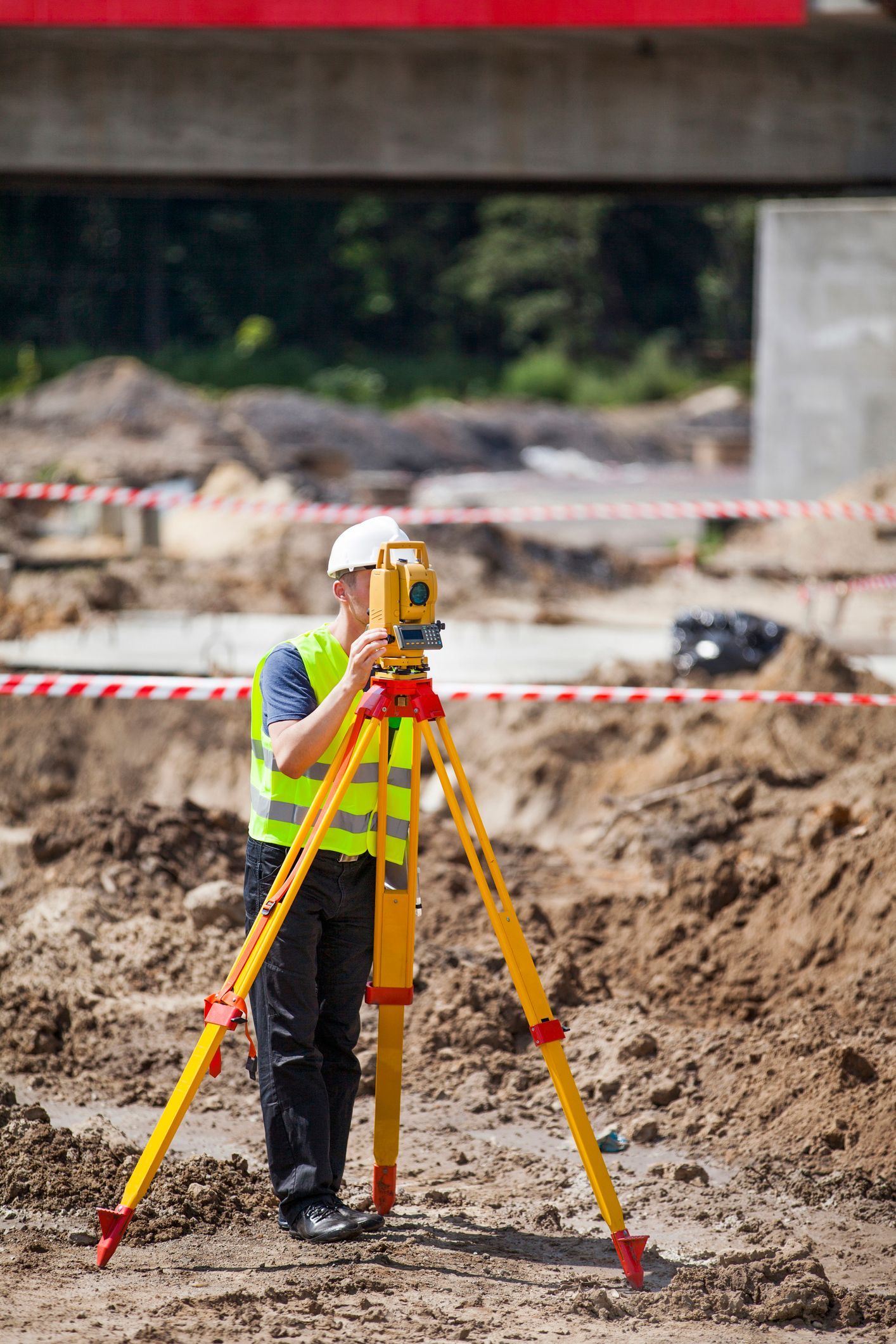
Do You Need a Land Survey Before Buying or Building Property Near the Chippewa River?
Buying or building near the Chippewa River in Chippewa Falls, WI, comes with regulatory complexity every buyer and builder should understand before signing anything. Working with a land surveying company early in the process can help you avoid costly surprises related to flood zones, wetlands, and zoning restrictions.
Why River-Adjacent Properties in Chippewa County Require Extra Due Diligence
The Chippewa River runs directly through Chippewa County and shapes local land values, zoning restrictions, and building requirements. Properties near its banks can sit within FEMA-designated flood zones, contain protected wetlands, or fall under Wisconsin DNR shoreland regulations that limit what you can build and where.
Skipping a survey before buying means you may not discover these limitations until after closing, leading to unexpected insurance costs, permit denials, or major project delays. A qualified land surveying company can identify these issues before you commit.
How Wisconsin DNR Shoreland and Wetland Rules Affect Your Project
The Wisconsin DNR enforces its own rules for properties near rivers and navigable waterways. Counties, cities, and villages must adopt shoreland-wetland zoning ordinances under Chapters NR 115 and NR 117 of the Wisconsin Administrative Code, and any use not specifically listed in the local ordinance is typically prohibited.
For river-adjacent properties in Chippewa County, this can mean building setbacks from the Ordinary High Water Mark, restrictions on grading or vegetation removal, and wetland permit requirements for any fill or disturbance in a mapped wetland. The DNR generally recommends against planning to build in mapped wetlands or regulatory floodplain areas, as these are challenging to develop under current regulations. A licensed land surveying company familiar with Wisconsin DNR requirements can help you understand these restrictions before your project begins.
Three Types of Surveys That Often Apply to River-Adjacent Properties
Not every survey is the same. Depending on your situation near the Chippewa River, you may need one or more of the following.
- Boundary Survey: Establishes the legal limits of your property, foundational for any purchase and essential for understanding where setback rules apply.
- Topographic Survey: Maps the elevation and physical features of the land, often required for floodplain analysis, site grading plans, and building permit applications.
- Flood Zone Review / Elevation Certificate: Determines your property's position relative to the FEMA flood zone boundary. An Elevation Certificate documents your structure's elevation and is frequently used by insurers to assess or reduce flood insurance premiums.
A full-service land surveying company can advise you on which types apply to your specific property and project goals.
Do I Need a Survey Before I Close on a Property Near the Chippewa River?
Yes, in most cases. A boundary survey confirms exactly what land you are buying. A flood zone review can reveal whether the property is in a high-risk area that would trigger mandatory flood insurance. Without this information before closing, you may inherit obligations and limitations you did not anticipate.
Can a Survey Help Me Lower My Flood Insurance Costs?
It may. If a survey determines that your structure sits above the base flood elevation, you may qualify for a FEMA Letter of Map Amendment, which can reduce or eliminate mandatory flood insurance requirements. An Elevation Certificate can also give your insurer the data needed to rate your policy more accurately.
What Happens If I Build Without Confirming Floodplain or Wetland Status?
Building without this information can result in permit denial, required demolition of non-compliant structures, or fines from local or state authorities. Wisconsin floodplain and shoreland zoning are enforced at the local level, and your city or county zoning authority can halt construction if proper permits are not in place. Projects of one acre or larger also require a construction site stormwater permit from the DNR before work begins.
How Do I Know If My Property Has Wetlands on It?
Wetlands are not always obvious. The DNR's wetland permit viewer offers an initial map screening, but maps are not always fully accurate. Wetland presence may still be indicated by specific plant types, soil conditions, or hydrology even where none is mapped. If your project cannot avoid a potential wetland area, a professional wetland delineation is typically required as part of any DNR permit application.

Take the Right First Step Before Buying or Building Near the River
Near the Chippewa River, a professional survey often determines whether a project moves forward, how much insurance you may owe, and what your lender will require. Getting that information early protects your investment and keeps your project on track.
Real Land Surveying serves the Chippewa Falls, WI, area and provides flood zone review surveys along with a full range of land surveying services for residential and commercial properties near river corridors and floodplain areas. Call (715) 514-4116 to request a free estimate, or contact the team online to discuss your property before you buy or break ground.